
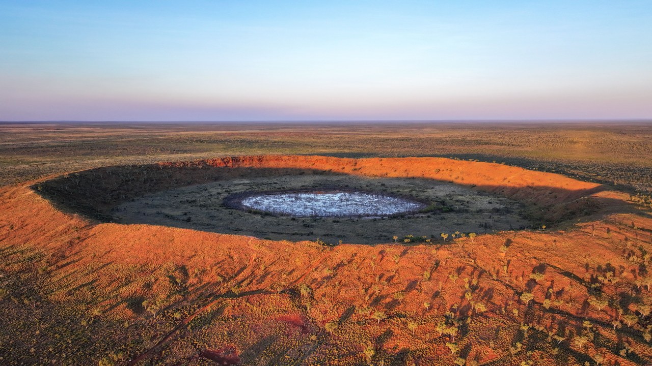
In 2024, all Joël Lapointe wanted was a decent spot to pitch a tent in the remote Côte-Nord region of Quebec, Canada. He pulled up satellite maps to scout the terrain around Lake Marsal and noticed something that didn’t quite fit. It was a near-perfect ring about 25 kilometers across, traced into the landscape as if someone had used a compass. Still, Lapointe, an amateur astronomer, had a hunch this wasn’t just erosion doing its usual thing. It might be a meteorite crater.
Instead of shrugging it off, he emailed specialists in both Europe and North America to describe what he’d spotted. It wasn’t a crazy idea. Earth has barely over 200 confirmed impact craters on record, a surprisingly small number given the billions of years our planet has spent getting pelted by space rocks. In fact, geologists estimate hundreds more are still hiding out there, half-erased by vegetation, glacial erosion, or simply because nobody has looked closely enough at that stretch of map.
The floatplane trip that confirmed it
It wasn’t until October 2025 that a team of researchers — including geologist Gordon Osinski and French geophysicist Pierre Rochette — finally made it to the site, and they had to do it by floatplane. In fact, the area is so remote there’s simply no other practical way in. The first thing they found on landing were towering cliffs of impact melt rock, a material formed when the heat of a collision literally melts part of the ground.
The clinching evidence turned up on the expedition’s second day, when the team found shatter cones: grooved, cone-shaped rock structures that only form under the extreme pressure of a shock wave, whether from a meteorite strike or an underground nuclear blast. No “ordinary” geological process — not volcanic, not erosive — can produce them, which makes their discovery essentially an unmistakable signature confirming the crater’s origin.
A 390-Million-Year-Old Meteorite Crater
With that evidence in hand, researchers were able to date the impact. It happened roughly 390 million years ago, right in the middle of the Devonian period, when the first forests were only just starting to colonize dry land and land vertebrates were still an evolutionary rarity. This meteorite crater was named Uhackatik, chosen in consultation with the Innu Council of Ekuanitshit, since the site sits on this Indigenous community’s traditional territory.
What’s most striking is that, through almost four decades of satellite imagery freely available to anyone with an internet connection, that 25-kilometer ring was sitting right there in plain sight, just waiting for someone to look at it with the right question in mind. No space telescope, no NASA satellite, no multimillion-dollar expedition was needed. Still, it took nothing more than a camping trip in the planning stages and an eye for a shape that didn’t quite belong.
Citizen science finds craters too
Lapointe’s discovery joins a growing list of finds made by hobbyists who browse satellite maps for fun rather than for work. It’s not the first time Earth has hidden a surprise of this scale, either: not long ago, T. rex footprints turned up 66 million years after they were made. Indeed, despite decades of high-resolution photography from orbit, Earth’s surface still has geological surprises in store for anyone willing to look twice. So next time you’re planning a route or scouting a campsite on the map, who knows what other meteorite crater might be hiding under that suspiciously round lake.
You can read the full details of the discovery, including comments from the researchers involved, in the original article at ScienceDaily.